
Gwinnett County Flooding History and Flood Risk by Area
By the Buford Water Damage Restoration team · September 15, 2026
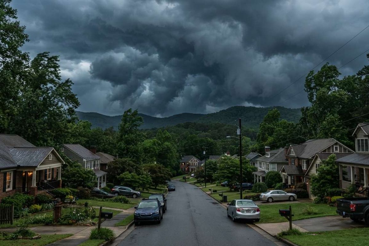
Metro Atlanta, including Gwinnett County, has a well-documented flood history — most notably the September 2009 floods, a historic, record-rainfall event that caused widespread flash flooding across the region. Flood risk today varies significantly by area, generally rising the closer a property sits to Lake Lanier, the Chattahoochee River, or a major creek corridor.
Part of Buford Water Damage Restoration — 24/7 restoration dispatch based in Buford, GA.
A Brief Flood History
The September 2009 floods remain one of the most significant flood events in metro Atlanta's modern history. Days of record rainfall caused widespread flash flooding across Gwinnett County and the surrounding metro, damaging homes and infrastructure and prompting a federal disaster declaration. The event remains a reference point for how quickly heavy, sustained rain can overwhelm creeks and low-lying areas in the region.
Lake Lanier itself — the large Chattahoochee River reservoir just north of Buford, formed by Buford Dam in the 1950s — plays a role in managing downstream flow, but it doesn't eliminate localized flash-flood risk from heavy rain on smaller creeks and tributaries throughout the county.
Which Areas Carry Higher Risk Today
Flood risk isn't evenly distributed across Gwinnett and Hall County:
- Lake- and river-corridor areas near Lake Lanier and the Chattahoochee River (Buford, Duluth, Peachtree Corners) see the most direct water-intrusion exposure during major regional rain events.
- Creek-adjacent cities like Suwanee (Suwanee Creek) and Sugar Hill (Level Creek) can see localized flooding and drainage issues during heavy rain, separate from lake or river flooding.
- Inland and newer-growth areas further from major waterways — much of Dacula and the outer suburbs — see comparatively lower flood risk from creeks and rivers, though sump pump failures and heavy-rain groundwater seepage still cause basement flooding regardless of location.
What This Means Practically
Whether or not you're near Lake Lanier or a major creek, every home in the region can experience water damage from sources unrelated to flooding — burst pipes, sump pump failures, roof leaks, and appliance failures happen everywhere. If you are in a higher flood-risk area, it's worth checking whether your homeowners policy includes flood coverage, since standard policies typically don't (see our insurance guide).